
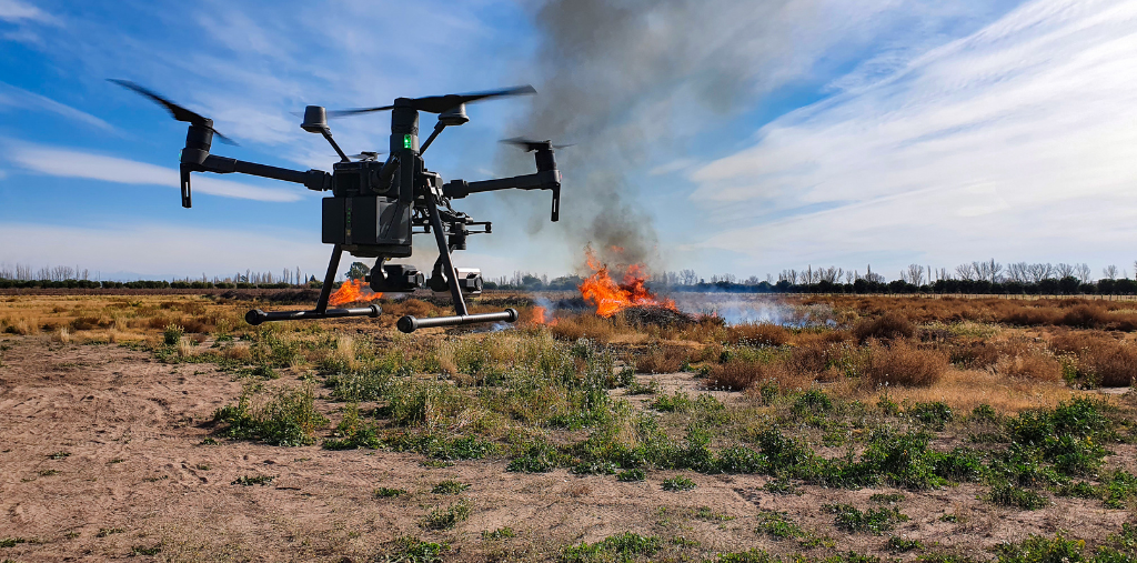
Thermography by Drone

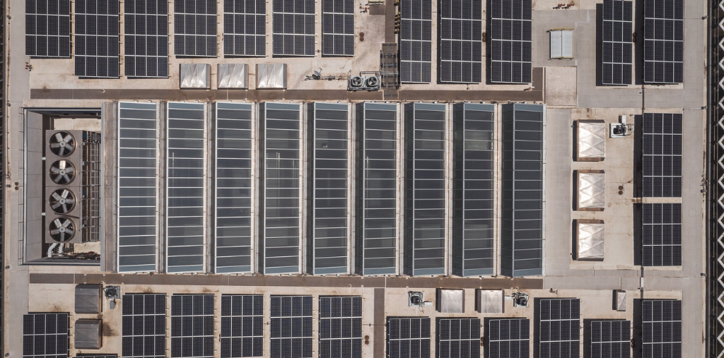
Photovoltaïque, Isolation, Oléoducs, Haute tension

background bottom

Produce simpler and more effective thermal infrared images.


Drone thermography allows you to obtain a thermographic image of a scene recorded in infrared. This technique is particularly used in industry to detect breakdowns or carry out predictive maintenance.

Thermal use for Firefighters

Drones are increasingly used by firefighters and insurers for their speed of deployment and their ability to intervene in all types of fires. They allow for quick decision-making and risk-free assessments of the areas, aiding firefighters without exposing them to additional risks.

Produce an orthophotograph

Using a drone to capture infrared images allows for significant cost savings compared to other methods typically used. Additionally, it is quick to deploy and can operate over small or large areas.

Drone-based Inspection of Photovoltaic Panels

The best tool for diagnosing the health status of solar panels is the thermal camera. Mounted on a drone, the thermal camera enables rapid and efficient inspection of even the largest photovoltaic plants.

Objectives of drone thermography training

Take advantage of rapid deployment and time savings through the flexibility of drones and mission automation.

Training Objectives

Integrate drone technology into thermography inspection activities. This training can be part of a professional development path, complementing the initial training of civil drone pilots.

Pédagogical Objectives


Learn infrared thermography, become proficient in conducting diagnostics and maintenance through thermography, avoid pitfalls, and interpret results effectively.

35-hour Training Program

The Training Program

DAY 1:

Introduction to aerial thermography.
Basics of thermodynamics and heat transfer - what can be seen with an IR camera.
Electromagnetic spectrum - Infrared.

DAY 2:

Energy exchange by radiation.
Examples of applications in the aerial domain: Buildings, photovoltaic, agriculture, wind energy, surveillance, leak detection on dikes, archaeology.
Interpretation of thermal images.

DAY 3:

Classroom use of an IR camera.
Thermal image analysis techniques.
Quantitative and qualitative analysis.

DAY 4:

Equipment and integrations.
Field use of an IR camera with a drone – Practical Session 1.
Infrared measurement techniques.
Inspection timing.

DAY 5:

Field use of an IR camera with a drone – Practical Session 2.
Case studies in the aerial domain.
Thermal patterns that do not correspond to defects.
Field methodology.

Tout public

Durée : 5 jour(s) (35 heures)

2.305,79 € HTVA
(2.790,00 € TTC)

Valeur chèques formations : 0,00 € TTC

Option(s) :

Pré-requis

Être détenteur de l’attestation de formation pratique Open ou Spécifique.

Matériel

Apporter un bloc-notes et un stylo. Tous les autres documents ou matériels nécessaires vous seront fournis sur place.

  • Caméra thermique flir
  • Drones quadcoptères
  • Drones équipés prise de vue
  • Station de montage

Prochaines formations

DU 26/06/2024 AU 28/06/2024

Pour les entreprises en groupes, on peut ouvrir une session à votre meilleur convenance.

Lieu de la formation

Aérodrome de Saint-Ghislain, Rue des Marionville, 21, 7330, Saint-Ghislain, Belgique

Pour les entreprises en groupes, on peut venir former directement sur place dans toutes la Blegique et plus. 

Inclus :

  • Certificat de formation
  • Veste fluo
  • Syllabus papier
  • Support de cours