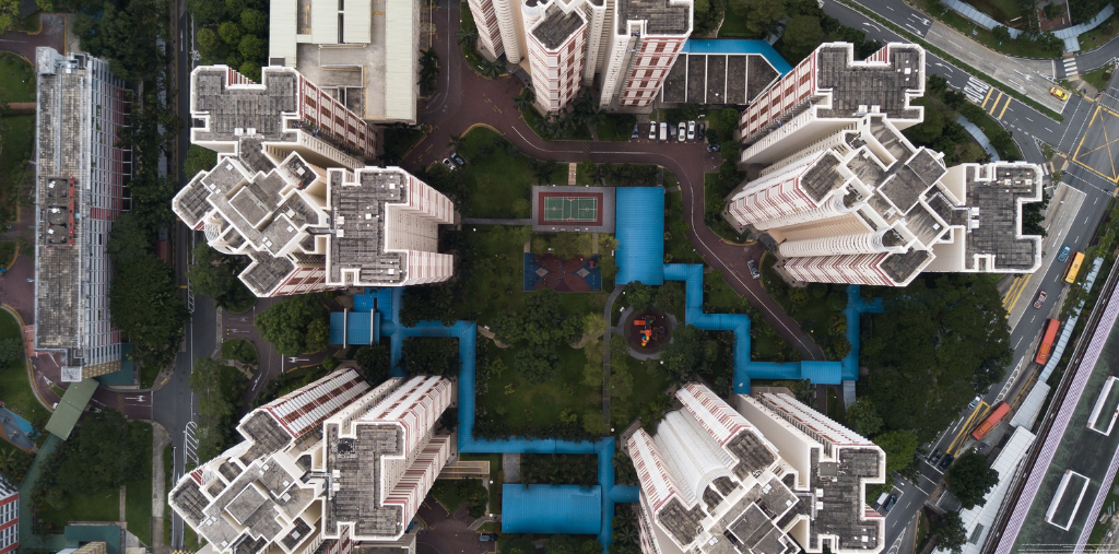
Terrestrial 3D Laser Scanning by Drone
Acquisition, Fusion, and Cleaning of Point Cloud Data

DAY 1:
Discovering the 3D Laser Scanner
Getting familiar with the equipment, its characteristics, limitations, and maintenance;
Handling the scanner;
General principles of 3D scanning (instrument positioning, target positioning, resolution choices);
Learning different methods for field surveys.
Acquiring Data with a 3D Laser Scanner
Setting up with or without targets;
Capturing point clouds in the field;
Pre-aligning positions on the tablet (depending on the equipment);
Exporting data.
DAY 2:
Visual or Target-Based Assembly
Automatic assembly after import;
Mastering advanced assembly parameters (sub-sampling percentage, number of iterations, maximum errors);
Automatically adding constraints;
Merging assemblies without a common target.
Advanced Cleaning, Segmentation, and Measurements
Cleaning before assembly;
Working with a Limit Box;
Sampling the point cloud;
Semi-automatically cleaning surfaces;
Taking measurements, distances from a point to an axis.
DAY 3:
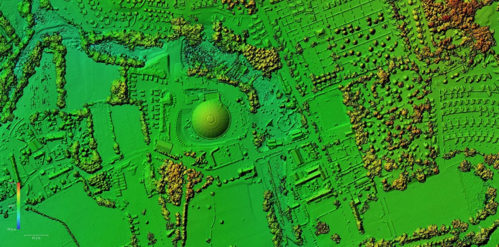
Assembly with Drone Data from Photogrammetry
Importing data into the software.
Assembly method with and without targets.
Checking the quality of data assembly.
Cleaning and clipping the point cloud.
Exporting data and exchanging with other platforms.
Managing databases.
Interpreting a Point Cloud in Leica CloudWorx.
Tout public
Durée : 3 jour(s) (21 heures)
1.933,88 € HTVA
(2.340,00 € TTC)
Valeur chèques formations : 0,00 € TTC
Option(s) :
Pré-requis
Aucun prérequis n'est requis, cependant, il est recommandé d'avoir une maîtrise pratique de l'utilisation de l'ordinateur.
Matériel
Apporter un bloc-notes et un stylo. Tous les autres documents ou matériels nécessaires vous seront fournis sur place.
Prochaines formations
DU 29/05/2024 au 31/05/2024
Lieu de la formation
Aérodrome de Saint-Ghislain, rue des Marionville, 21, 7330, Saint-Ghislain, Blegique
Inclus :
- LEICA RTC360 / BLK360
- Suite logiciel LEICA Cyclone Register
- Stations de calculs performantes
- Goblet DroneMotion
- Certificat de formation
- Veste fluo
- Syllabus papier
- Support pendant 1 an après votre formation